Frank Wnek | March 13, 2014
I don’t know how many people have said to me, after I responded ‘no’ to their initial question, ‘You’re a pilot and you don’t have a GPS?’ Well, it’s true, I’m not a ‘gadget guy’. Truth be known, I’m barely computer literate. Of course I did have a good working knowledge of and used GPS navigation in my commercial airline career. But I never carried it over to ‘land’ use. And we did also use maps in the air – charts they were called – which, in addition to showing the air routes, contained lots of other information, including land and terrain references, communications frequencies, procedures for getting weather and oceanic clearances, etc. And I must say I have always been more comfortable with maps, charts, observing the sun, moon and stars, and an innate sense of direction than with electronic navigation information.
And I’m really a little freaked out by electronic devices that talk to you, whether it be GPS, Tom Tom, or whatever. Tom Tom? Where did that come from? Can you just imagine a pioneer couple driving their Conestoga wagon across the Great Plains headed for the promised land and the wife saying to her husband “Just follow the tom-toms, dear. I’m sure THEY can tell us which way to cross the mountains.” Something tells me that the Western American Indian tribes at the time were not giving directions or selling tourist trinkets by the roadside.
So okay, I will admit that it is kind of cool to get an instantaneous readout of exactly how fast you are going – as opposed to trying to interpret the undulating needle on your Smiths speedometer, while mentally calculating parallax and conversion factor from bias ply to radial tires. But what if you miss one of those subtle ‘exit right one half mile ahead’ commands (while calculating your true speed) and the next thing you hear is ‘continue ahead 35 miles to next exit and reverse direction.’ And the voice is always SO smug and matter of fact. Then there is the even more annoying response, should you be so bold as to question a direction or make some other inquiry – ‘recalculating.’ Recalculating! What does THAT mean?
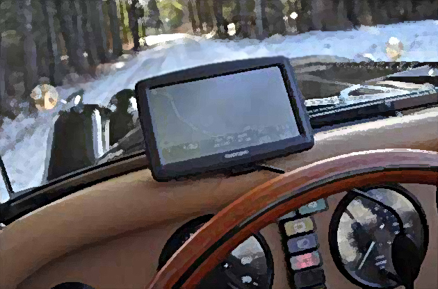
These so called labor saving ‘devices’ also supposedly determine for you, perhaps not the most direct, but the ‘fastest’ route from one place to another – not to mention knowing every location on the face of the earth. And that’s fine until the pavement ends abruptly on the route you are confidently following, and the now dirt road starts to get progressively rougher and more rutted. All of a sudden a prudent speed in your Morgan is about 15 MPH and still you are getting airborne out of your seat at frequent intervals – a thrill ride that no carnival or amusement park can match. You continue on gamely for a while, of course, noting that the only vehicles you encounter going the opposite direction are mud spattered pickup trucks whose long bearded occupants give you a not so reassuring stare. You know you can’t ask the device a direct question like when you will return to a paved surface, so you think you can outsmart it by asking ‘How far to nearest Oriental restaurant?’ After an interminable silent pause the devise answers ‘Continue ahead on unimproved road for 367 miles. At intersection turn right, continue straight ahead for 83 miles, arrive at closest town and turn left into parking lot of Tony’s Noodle Shop and Szechwan Pizza. Great! You check your notoriously inaccurate fuel gage, note the needle quivering perilously close to the big E and try to decide whether to turn back into the dust cloud behind you or press on. About this time your trusty navigator and spouse hits you once again with that oft heard question, ‘And this is supposed to be fun?’ Following closely behind comes this weak electronic voice saying ‘Battery low – please recharge!’ Need I further explain why the Morganeers equipped with GPS and Tom Tom are invariably the last to turn up at events, or occasionally fail to show up at all?
So, no thanks. I’ll stick with my maps and charts. I like to see the grand overhead view of the route options from point A to point B, so I can decide for myself whether a direct or indirect route is best, whether or not I want to travel on secondary roads or highways, what towns and scenic wonders I’ll be passing through along the way, etc. To me that is part of the adventure of car travel. Along with trying to unfold and refold a map to the proper section, without ripping it in half, as you are speeding along top down.
So give it a try. I can assure you that you can go into any AAA office and tell them you want a roadmap to X,Y or Z, and after first looking at you a bit strangely they will start trying to unload on you every state map in their overflowing bins. And they’re FREE! And they don’t talk or talk back to you!
Having mastered the fine and lost art of map reading, you will arrive at your destination with a sense of pride and accomplishment. Besides, maps are SO much better than newspapers, towels, articles of clothing, purses, plastic garbage bags, lap top computers, or portable navigation devices for stuffing in those cracks, nooks and crannies where the wind and rain comes in as you press on through a thunderstorm with the hood up. Trust me – I know.
Frank Wnek
NOTE: Special thanks to Frank Wnek, editor of The Morganeer, the Journal of the 3/4 Morgan Group, Ltd. for allowing us to reproduce this article.